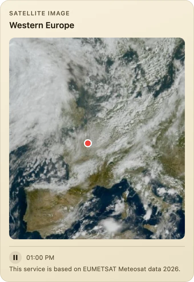
Europe from space
Europe as Meteosat sees it, in animated images, with your Homey's marker.

App for Homey Pro
See the sky above Europe as the satellites see it.
Available v1.0.7
A dashboard widget showing Europe's cloud cover as the Meteosat satellites see it, in successive images that animate. The view covers the whole of Europe, a region (Western Europe, France, the British Isles, the Iberian Peninsula, Central Europe, Italy and the Balkans, Scandinavia) or a thousand-kilometre square around your Homey, marker included, in day and night colour, infrared or true colour.
View on the Homey App StoreEurope as Meteosat sees it, in animated images, with your Homey's marker.
Homey writes an automation in three parts: when something happens, and if a condition holds, then do this. Anything on a lighter background, such as radius, is a parameter you set in the Flow. Every condition also exists in its negative form, which Homey flips with one click.
Cloud Cover Europe 1.0.7 tidies up the satellite widget so it sits nicely next to your other tiles.
Add the Europe from space widget from your dashboard. In its settings, choose an area (from All of Europe down to France, the British Isles or Scandinavia, or Around my Homey), a picture type and how much animation you want. Coastlines and borders and Mark my Homey can each be turned on or off. Then choose a background: deep blue, slate, plum, forest or sand.
The tile takes the height of the picture for the area you pick, so a wide area and a tall one each keep their natural shape.